NEWS
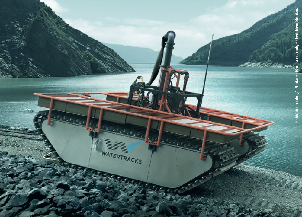
NESSIE ROBOT BY WATERTRACKS
“Nessie”, the robotic dredging solution designed by Watertracks, an underwater constructions company, is equiped with the RTKDuo solution from PLSM. Thanks to the precise and georeferenced positioning system, “Nessie” can be fully programmed and remotely controlled, allowing versatile and cost effective dredging operations.

AQUA-MÈTRE D100-NG
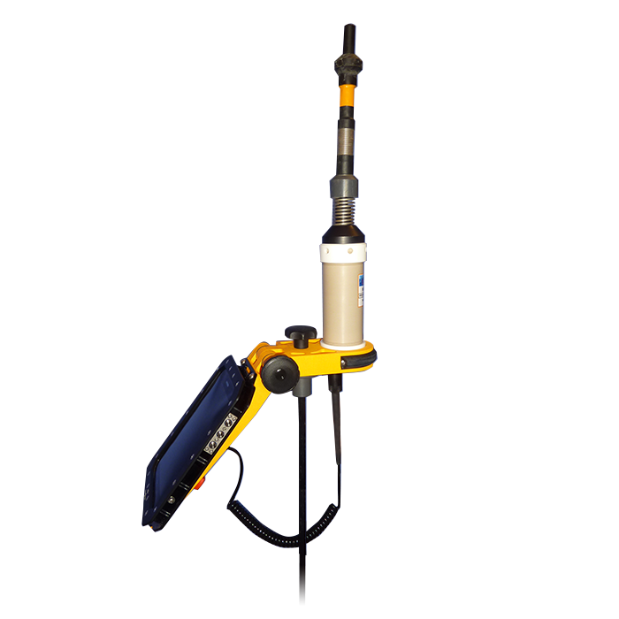
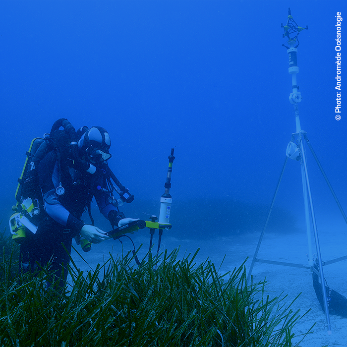
The new version of the diver operated cartography system is now available. Dedicated to diver operated applications, the pointer is now equiped with an Android tablet interface. With this user friendly setup, the diver can now take measurements that are stored in the tablet memory.
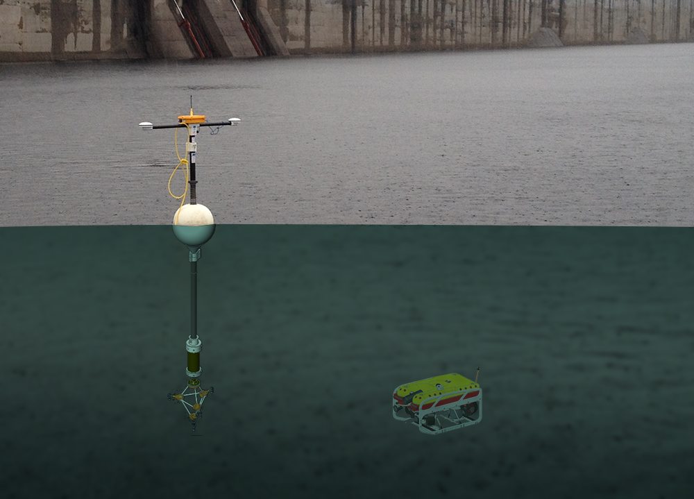
NEW GEOREFERENCED GPS RTK BUOY DUAL-ROVER CONFIGURATION
In this configuration, the system is managed from a moving point (a vessel, barge,…), thus, the GNSS receiver inside the Survey Interface can not be used as a RTK reference Base, external RTCM corrections must be provided by the user from an external RTK base station on the shore, or from network RTK (NTRIP protocol, availability depends on the location) using cellular communications.
For more details, check the RTKDuo technical description.
PRODUCTS
AQUA-METRE D100-NG
RTKDuo BUOY
AQUA-METRE R300/R3000-NG
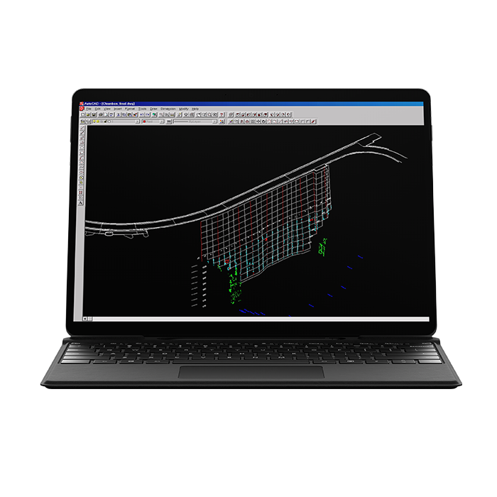
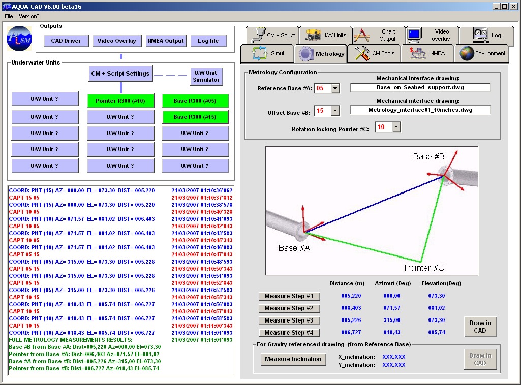
AQUA-CAD SOFTWARE
SERVICES
RENTING AQUA-METRE SYSTEMS
The full range of AQUA-METRE systems can be rented from one up to several weeks. Freight may be managed by PLSM depending on customer requirement. Special long-duration fares are offered to customers who do not wish to make a big investment.
SIMPLE TRAINING UP TO FULL TECHNICAL ASSISTANCE
PLSM offers training courses in the company premises or in customer premises when required. PLSM also offers full technical assistance if the customer prefers to focus on their main job (ROV inspection for instance) and subcontracts the full positioning/metrology part of its activities.The technical assistance can be reduced to the system set-up and few days of training on the field. PLSM is open to any customer suggestion.
CUSTOM SOLUTIONS
For customers that need a specific solution related to underwater positioning, PLSM is ready to propose a custom solution elaborated from current hardware and software products. Please contact PLSM to check the possibilities.
APPLICATIONS
COMPANY
PLSM is a small, creative and highly responsive company. The business was created in late 1999 following the development of an innovative solution for underwater archaeology mapping : the AQUA-METRE D100.
Since 1999, PLSM has extended its practice by introducing new AQUA-METRE derivatives, the AQUA-METRE R300 and R3000 particularly. These underwater positioning systems address a broad range of activities such as dam surveying, shallow and deep offshore metrology, and seaweed mapping among others.
2-4 rue Jean-Baptiste HUET
BP 18
78354 Jouy en Josas
FRANCE
(+33) 1 8541 0124
infos[@]plsm.eu
